Hydrology Resources
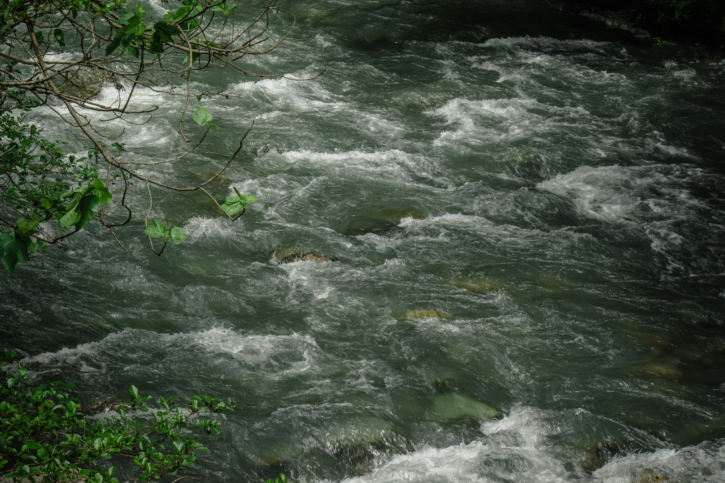
Water is the lifeblood of the Grand Valley, shaping our landscapes, sustaining agriculture, supporting wildlife, and nourishing our communities. The Grand Valley’s hydrology is defined by the Colorado River and its tributaries, and an extensive system of canals and ditches. Our valley’s arid climate means that every drop counts, and understanding how water moves through our soils, floodplains, and irrigation systems is key to building resilience in the face of drought and changing conditions.
The Hydrology Resources page brings together trusted tools and information from the Colorado Department of Water Resources, the U.S. Drought Monitor, and other local and national sources. Here, you’ll find insights into stream flows, drought outlooks, water law, and conservation practices—resources that support landowners, water users, and the broader community in managing this most vital resource for today and future generations.
-
Hydrology is the science that encompasses the occurrence, distribution, movement and properties of the waters of the earth and their relationship with the environment within each phase of the hydrologic cycle.
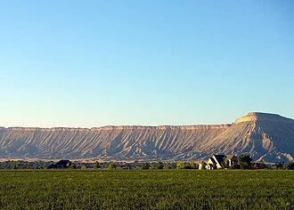
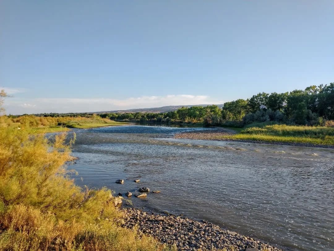
Hydrology in the Grand Valley is unique with both the Colorado and Gunnison Rivers running through the region. These rivers are critical to the livelihood of the Grand Valley, from agriculture to recreation, water is life in the high desert.
The region’s drinking water supply largely comes from atop the Grand Mesa stored as snowmelt and in reservoirs and then travels down Kannah Creek.
-
Geology, the study of earth's physical structure and substance, its history, and the processes that act on it. Geology has a large impact on the hydrology of the region.
Naturally occurring salts and selenium impact run off and shape how we use water. These are present due to the absence of an in-land ocean that once filled the valley. Once the ocean receded, the salt and minerals were deposited into the soil we now use.
-
Hydrologic Unit Codes are watersheds that are delineated by USGS using a nationwide system based on surface hydrologic features. A HUC consisting of 2 additional digits for each level in the hydrologic unit system is used to identify any hydrologic area. This system divides the country into 22 regions (2-digit), 245 subregions (4-digit), 405 basins (6-digit), ~2,400 subbasins (8-digit), ~19,000 watersheds (10-digit), and ~105,000 sub-watersheds (12-digit).
Learn more about what Mesa Conservation District is doing to support local hydrology. Click the button below to learn more.
Want to learn more about local irrigation and how hydrology has an impact? Click the button below to learn more.
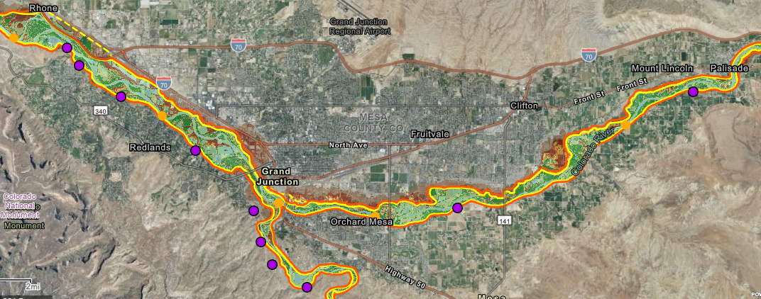
What to learn more about fluvial zones? Click the link below to use Mesa County’s Interactive Grand Valley Fluvial Hazard Zone Map

Interested in the hydrological research, outreach, and education being done locally? Check out the Ruth Powell Hutchins Water Center at Colorado Mesa University. Click the button to learn more.
Learn more about local hydrology initiatives from the Grand Valley River Coordinator Initiative
Other Hydrologic Resources
Hydrology Funding Resources
Colorado Watershed Assembly Funding
Colorado Water Conservation Board Grants
Water Supply Reserve Fund Grants
Water Funding Opportunities Navigator
Water Law and Colorado Division of Water Resources
Beginner’s Guide to Water Rights
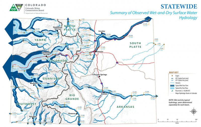
Colorado Drought Monitor
Citizen’s Guide to Colorado Water Law
Colorado Division of Water Resources
Colorado Division of Water Resources - Current Streamflows
Common Water Issues
The Colorado River - State of CO Resource
Hydrological Tools and Information
Colorado Snowpack Data
Grand Valley Fluvial Hazard Zone Map
USGS Web Tools